MOUNT MORIAH CEMETERY
INCORPORATED April 14, 1903
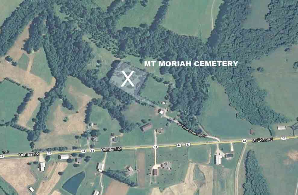
Mount Eden Cemetery Rd, Mount Eden, KY 40046
|
VISITOR INFORMATION ADDRESS: GPS Coordinates: Latitude: 38.05961, Longitude: -85.13895 DRIVING DIRECTIONS:
Google map: CEMETERY CONDITION:
|
MOUNT MORIAH CEMETERY
INCORPORATED April 14, 1903
Mount Eden Cemetery Rd, Mount Eden, KY 40046
|
VISITOR INFORMATION ADDRESS: GPS Coordinates: Latitude: 38.05961, Longitude: -85.13895 DRIVING DIRECTIONS:
Google map: CEMETERY CONDITION:
|